Maps and atlases of the world
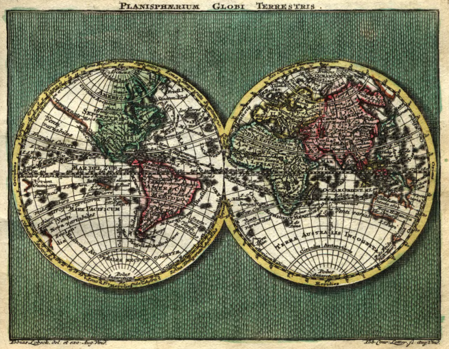
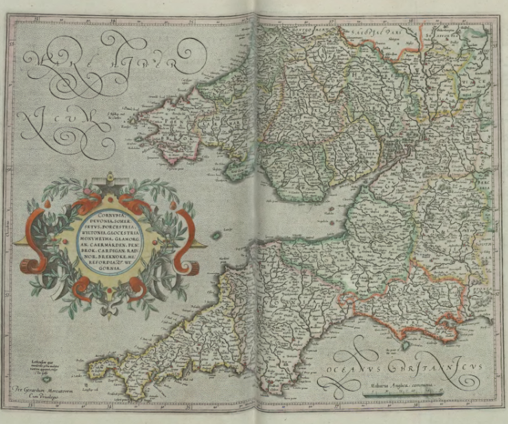
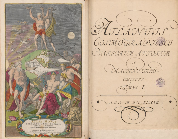
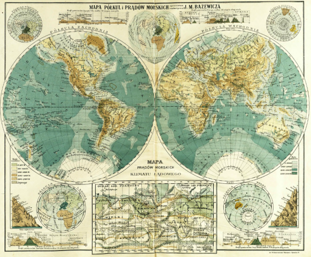
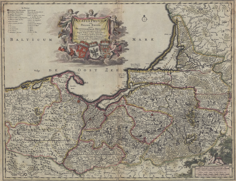
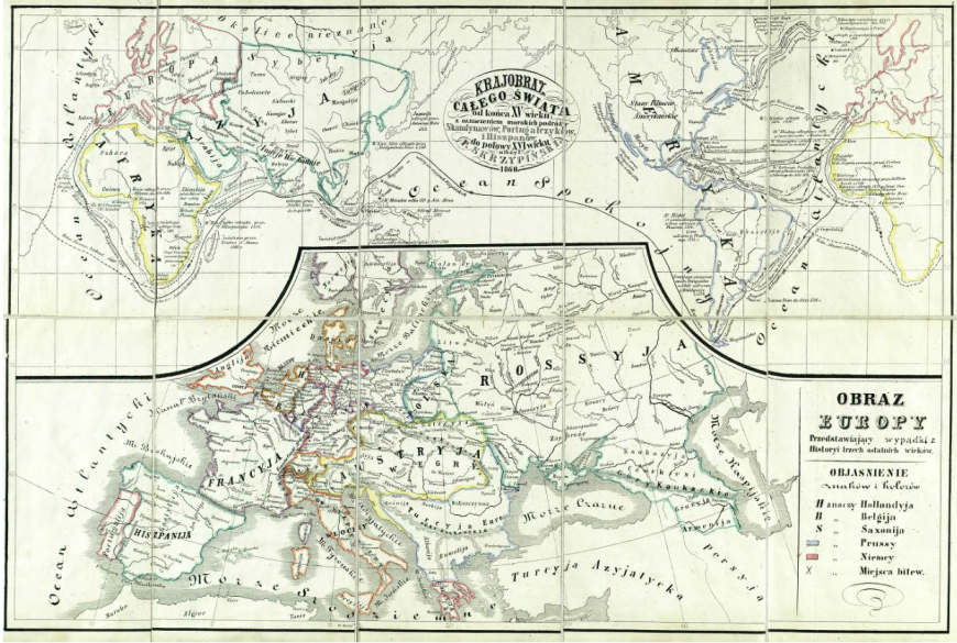
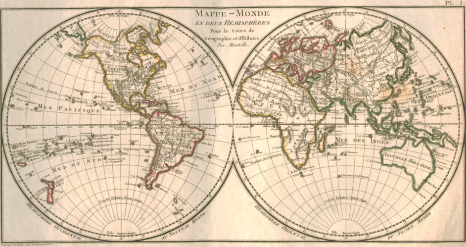
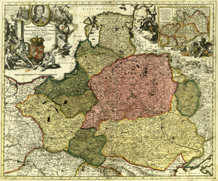
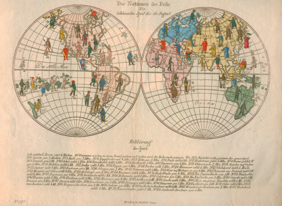
During only a few centuries, the borderlines of states, nomenclature and specificity of knoledge about described areas changed tens of times. Numerous maps and atlases available in Polish libraries belonging to the Digital Libraries Federation depict the world changing throughout the years. The oldest of them were created already in 17th century – one of such old prints can be seen in MCSU Digital Library – it is an cosmographic atlas from 1628. There are many pages missing, lots of them are only partly visible, but despite of that, conservation performed in 1995 let the library to release online the digital version of the print. There are craftsmanlike, ornated maps of different continents, conutries and areas inside. We can find an 18th century, 7-volumes cosmographic atlas in the Digital Library of University of Wrocław – it is a publication from Machnizcy’s collection, containing maps of the world, planiglobes, maps of areas and lots of colourful, artful illustrations. A geographic atlas from 1760, supposingly the most interesting one when it comes to the graphics and amount of drawings, is available in the Silesian Digital Library. Moreover, it is a pocket atlas (11,5 x 14,5 cm) and it contains colourful copperplates and 37 maps and their comprehensive descriptions. We can find a few 19th century maps in the Digital Library of Wielkopolska: a beautiful ethnographic map, a French map of the world or the set of topographic maps with illustrations. Last but not least object we want to present are maps available in the Digital Repository of Scientific Institutions: a precise, handmade coloured map of areas of Poland, Lithuania and Pomerania from 1711; a landscape of the world from the end of 15th century with marks of marine voyages of Scandinavians, Portugese and Spanish till the half of 16th century; and a geographic atlas from the beginning of 20th century.